Understanding your land resources is the foundation of determining Land Use Suitability/Optimisation
LandVision helps farmers improve their farm system through informed management recommendations outlined in our comprehensive Land Use Suitability Reports.
Our methodology in producing a Land Use Suitability Report follows several steps.
Click on each step below for more details:
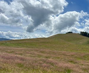
Data Collection – Paddock Scale Mapping
Step 1
Our qualified soil scientists and land management specialists conduct an on-site visit to collect land resource data, capturing the physical characteristics of your property. Back in the office, we undertake a four-step analytical process to determine suitable land use.
Land Resource Inventory (LRI)
Step 2
We create detailed paddock-scale maps showing rock type, soil type, slope, erosion, and vegetation features from the collected data. These maps combine your property’s physical characteristics to form the LRI, providing a comprehensive visual reference of your land.
Land Use Capability (LUC)
Step 3
The units derived from the LRI are grouped into the New Zealand LUC Classification; an eight-class ranking system from highest to lowest productive capacity. Each class is further divided into subclasses according to the dominant limitation to production including erosion, wetness, soil and climate.
Land Management Units (LMUs)
Step 4
In order to enable effective land management, we group areas with similar physical characteristics derived from the LRI and LUC into LMUs. Additionally we take into consideration how the land is currently managed.
Climate Data
Step 5
We factor in your property’s specific climate, recognising its crucial role in determining suitable land use.
Land Use Suitability – Integrated Tailored Analysis
Step 6
Each report is highly specific to your land. We consider how different areas of your property are currently managed and assess common land uses in your region. Through SWOT analysis, we identify the strengths, weaknesses, opportunities and threats for each LMU on your property.
Our report evaluates various land uses and provides suitability ratings for each LMU, combining research with LandVision’s extensive field experience. Each recommendation includes clear explanations and links to corresponding maps.
Yield Gaps and Environmental Works
Step 7
We provide advice on yield gap analysis (current vs potential production) and recommended environmental works under a pastoral grazing regime.
Land Use Optimisation
Step 8
What is the most optimal use for the different land units on your property? – from horticulture at one end of the scale through to retirement at the other. LandVision’s Land Use Suitability Reports determine just that.