LandVision Services

Our Services

Land, Water and Farm Resource Mapping

LandVision has specialised staff who offer the unique service of paddock scale land, water and farm resource as well as land use capability mapping.

Integrated Farm Environment Plans

A LandVision Integrated Farm Plan is a comprehensive document covering all environmental components of a farm or orchard.

Resource Consent and Compliance Consultancy

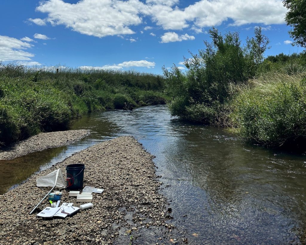
LandVision can assist with council compliance and applying for resource consent. This includes producing Land Productivity Reports to satisfy the NPS-Highly Productive Land.

Effluent Management

LandVision has expertise and experience in managing soil and effluent risk for Farm Dairy Effluent (FDE) applications.

Land Use Assessment and Enterprise Opportunities

LandVision assesses the viability and feasibility of all land use possibilities as well as identifies opportunities to maximise production.

Freshwater Farm Plans

A freshwater farm plan is a regulatory document used to identify and manage the risks to a farms/orchards freshwater resources.

Erosion, Coastal and Farm Forestry Management

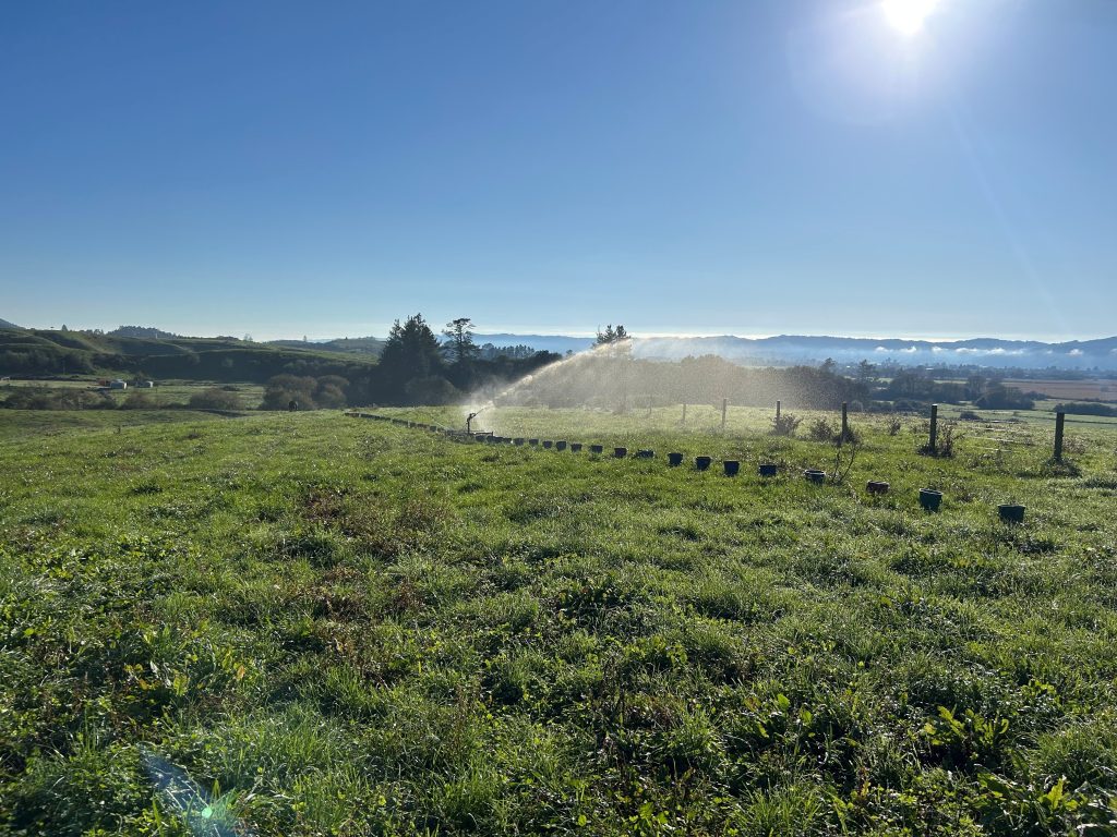
LandVision provides innovative soil conservation solutions, coastal system management and expert advice on farm forestry and the Emissions Trading Scheme (ETS).

Environmental Assessment and Monitoring

Staff at LandVision are able to provide expert assessment, advice and ongoing monitoring in soil, stream and biodiversity health.

Group Facilitation and Training

LandVision facilitates farm and catchment discussion groups on a wide range of land management issues.

EM Sensor and Drone Technology

LandVision uses an Electromagnetic Sensor to develop comprehensive soil conductivity maps.

LandVision staff are also competent users of Drone Technology 

White Boards

LandVision are able to produce whiteboards overlain with subdivision maps for ease of management.